Built for the red deer hunt
Red deer hunting asks different things than moose hunting
Red deer are usually hunted alone or in a small group, from a stand, at first light and at dusk. The animal has a nose that decides everything, and it moves between farmland and forest in a pattern you can read out of the ground.
That asks something very different of your tools than a moose hunt with a whole team on the ground. Here is what we have built for this hunt in particular.
The wind decides the stand
Ask an experienced red deer hunter how the stand is chosen, and the answer is rarely about the map. It is about where the wind sits.
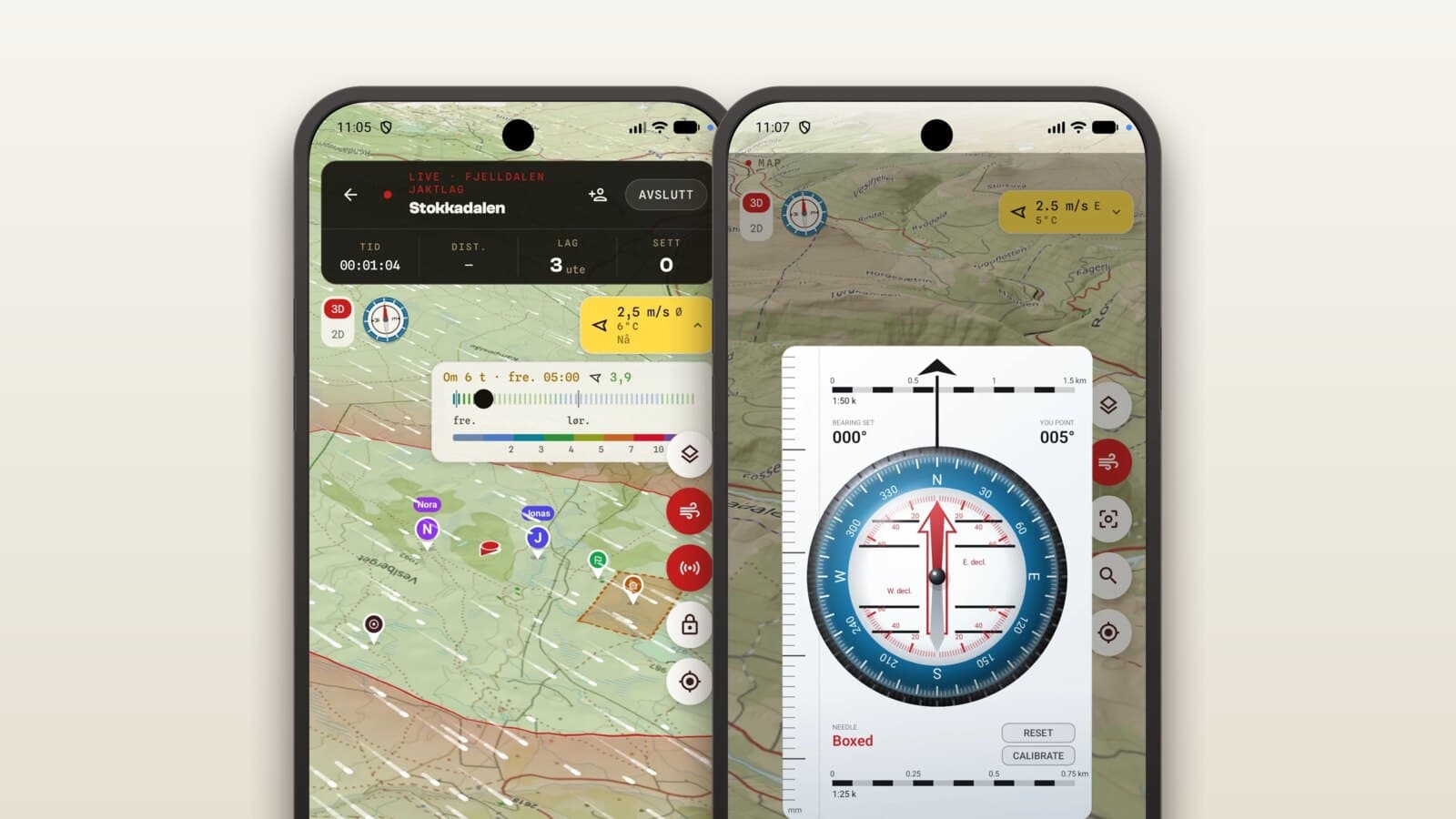
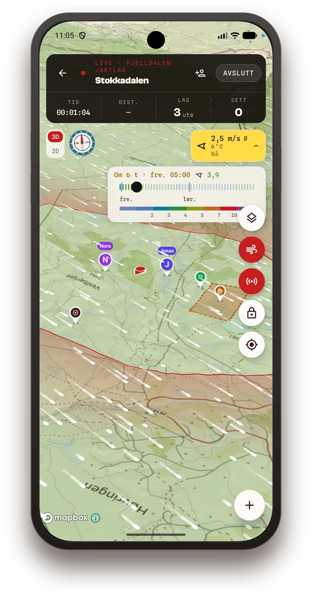
The app draws the wind across the whole map view, not just where you stand. It shows as particles moving with the wind direction, coloured by strength, so you see the pattern in the ground rather than an arrow with a number beside it.
Underneath is a timeline you can drag. It runs 48 hours ahead, so you can see how the wind turns overnight before deciding where to sit in the morning.
The light decides the timing
Red deer move in half-darkness. That is why the shooting light card sits at the top of the home screen, with sunrise, sunset and moon phase calculated from where you actually stand, not from the nearest town.
It is the information you would otherwise check in three different apps the evening before, in one place.
The ground tells you where the deer moves
The map shows the hillside in three dimensions. You see the hollow, the ridge and the natural passage between pasture and forest, and you can weigh up stands and sightlines from home.
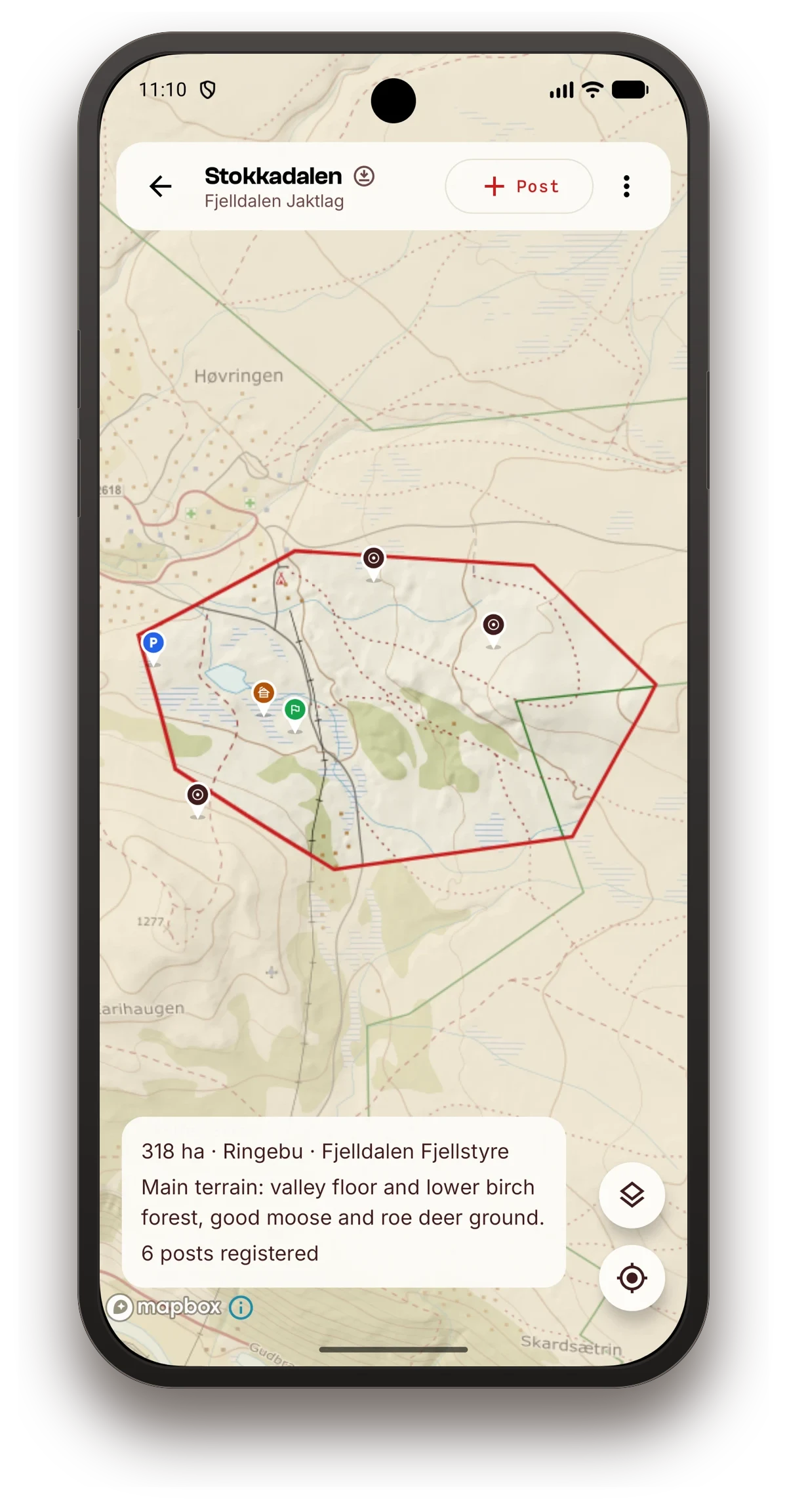
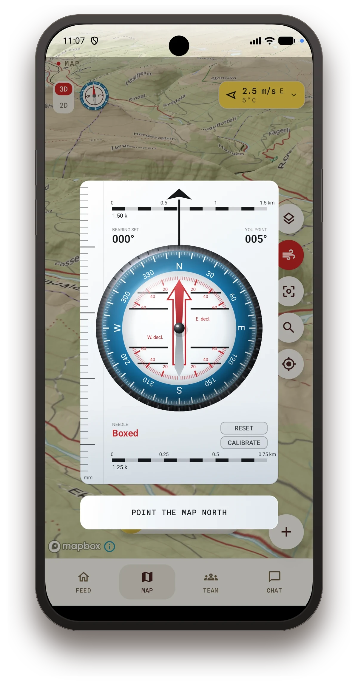
Property boundaries come from the Norwegian cadastre, so you know where the ground ends. Your stands and cabins sit as their own markers. And in the map there is a real compass, driven by the phone's magnetometer, with a rotating bezel and a needle that points to true north.
The quota counts itself
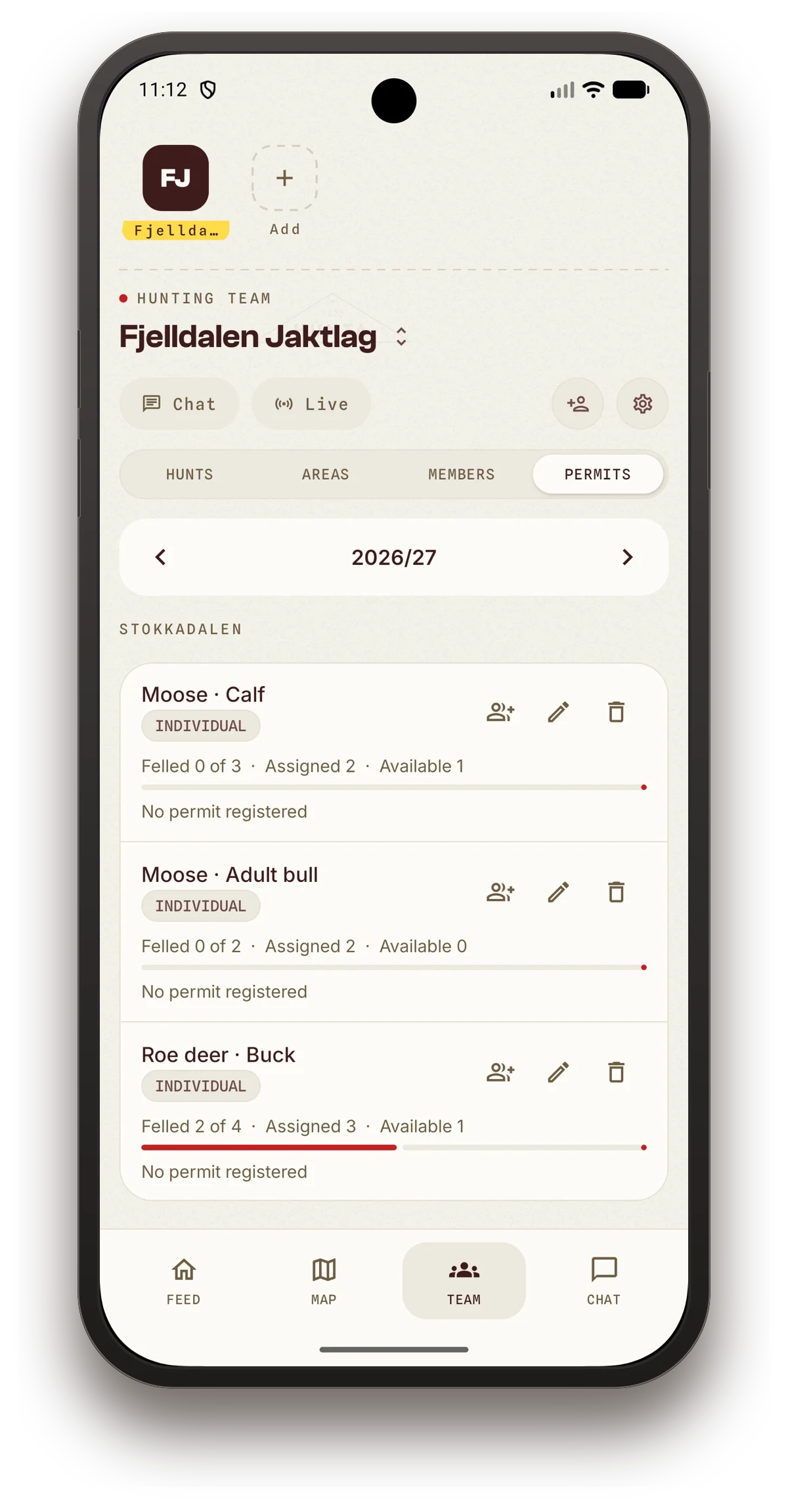
A red deer quota is not just a number. It is split across calf, spike buck, young hind, hind and mature stag, and that split is what the rights holder needs reported.
In the app you see taken, allocated and remaining per category. Report a harvest and it is deducted from the right category automatically, and if one is full it goes to the one that actually has room.
After the shot
Your track draws itself as you walk, with distance. If a search follows, you have your own movement on the map.
The harvest is logged where it happens, with species, category, carcass weight, position and photo. If you bought the hunt through Hunta, the harvest report reaches the rights holder by itself.
And it works without coverage
Red deer hunting happens in valleys and hillsides where the mobile network gives up. The map for your ground downloads automatically, and logging works regardless and sends once you are back online.
The wind forecast is the only thing that has to be fetched while you have coverage. Get it before you walk in, and you carry 48 hours of wind in your pocket.
The app is free
We do not charge you to see your team on the map, log a harvest or plan the hunt.
If you are after red deer this autumn, download the app and bring it along.